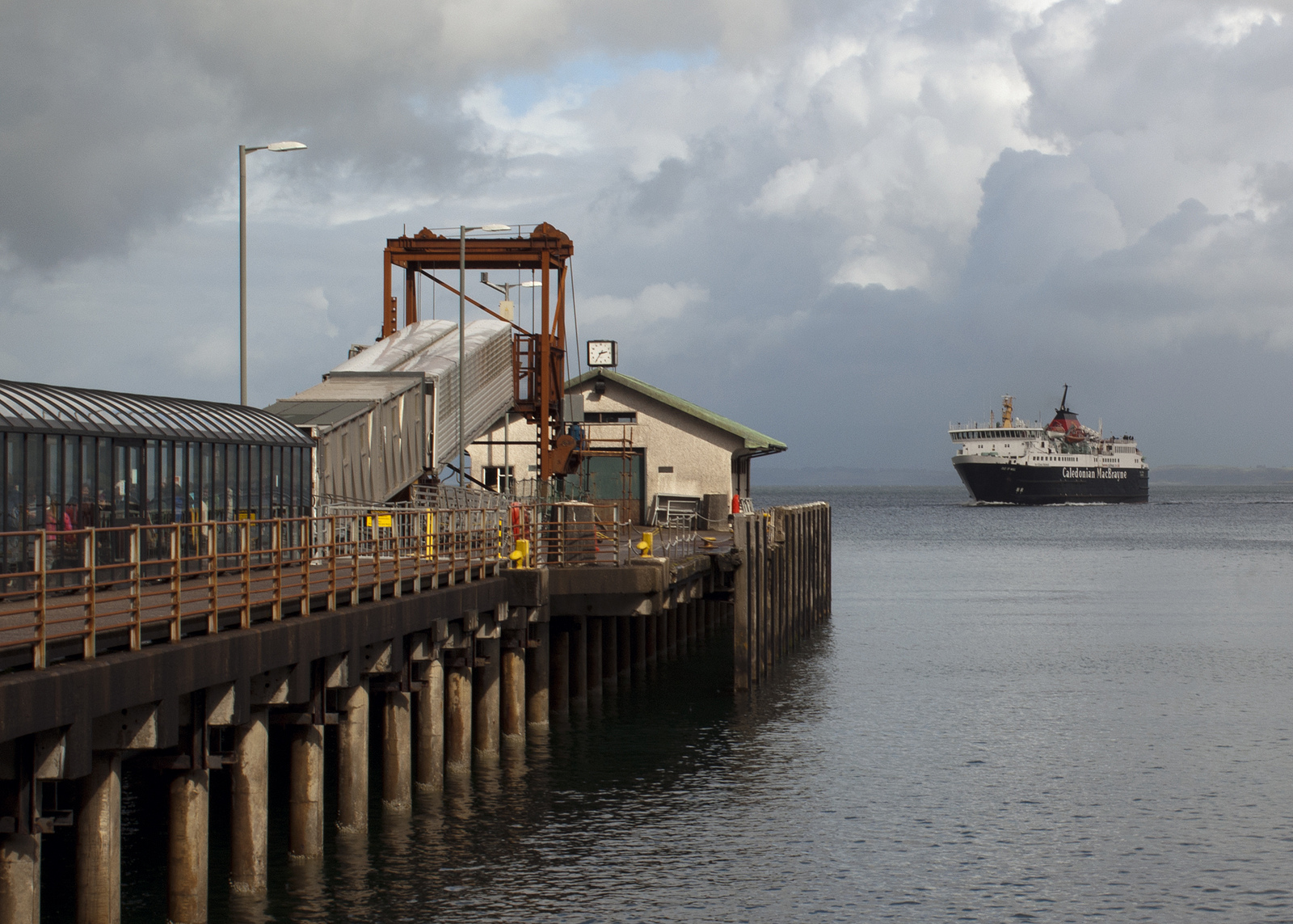
Since 1964, the principal crossing to the island of Mull has been the Calmac car ferry from Oban to the pier specifically built for the purpose at Craignure.
Before 1964, Mull's principal connection with the mainland was MacBrayne's mail steamer which sailed from Oban once a day to Tobermory with intermediate calls at Craignure (a
ferry call), Lochaline and Salen. Steamships revolutionised transport by making travel by sea a preferred option over travel by land (where there was no railway) but before they appeared on the north west coast of Scotland in the second quarter of the 19th century, the shortest sea crossing to an island was very much the order of the day just as it is today.
In the case of Mull, however, the pre-steamship crossing was even shorter than to Craignure: it ran to Grass Point at the mouth of Loch Don and so desperate were they to avoid the horrors of travel by sailing boat that the island of Kerrera was used as a stepping stone between Mull and Oban.
 |
| Note "Craiganune [sic] Kirk at top left where the present ferry terminus is: John Thomson's Atlas of Scotland 1832 from National Libraries of Scotland |
The 1832 map above indicates that the Mull terminus used to be called Achnacraig (sometimes also spelt Auchnacraig) rather than Grass Point as it is now but, anyway, this is the pier the boats operated to: the quality of the masonry is a thing of beauty:-
In the picture below from the opposite side of the bay, the pier is to the left of the cottage on the left:-
The bigger house in the centre is still called The Old Ferry House (closer up picture of it
here) and what you're looking at there is an early 19th century "ferry terminal". Apart from the pier, the vital infrastructure is the "ferry house". This was not just where the ferryman lived but also an inn for the accommodation of travellers who might have to wait for a night or more for a suitable conjunction of wind and tide to make the crossing. (There's a curiosity at Grass Point, though, in that some old maps - including the one above - mark what's now Auchnacraig Farm about a mile up the road as "Inn of Achnacraig". Whether that means the ferry house was not the inn or that the house pictured above combining both functions is more recent, I don't know.)
The opposite terminus of the ferry was at Barnabuck (also known as Barr-nam-boc) on the west coast of Kerrera. Here, the pier has collapsed into a pile of rubble although the ferry house survives as a farmhouse about half a mile inland.
I couldn't find any closer up a photo of the remains of the pier than the one below. At the back of the bay, you can see the retaining wall carrying the approach road out to the pier (the horizontal white line) but the pier itself has gone. If you click the photo to go large, you can see the houses at Grass Point on the opposite shore above the tree on the right:-
[
EDIT 6 February 2013 - the picture above was removed by Google after someone (I know not who) reported my use of it as being a breach of the US Digital Millenium Copyright Act! If it was the author of the photo, then I apologise for having breached your copyright. You can still see the photo via the link in the caption to the author's Flickr page. Meanwhile, below is a picture from
Geograph which shows roughly the same scene but from a greater distance. The ruined pier and its approach road are in the red box. The houses at Grass Point are not visible - they're out of frame to the right.]
Of course, having landed on Kerrera, you still had to cross from that island to the mainland. As far as I know, that crossing was historically at the same point it's at today (not the ferry from Oban to the marina at Ardentraive, the one further down the Sound of Kerrera pictured below):-
The only contemporary account of crossing from Grass Point to Kerrera I've been able to find is Johnson and Boswell in 1773. Boswell wrote:
"We bade adieu to Lochbuy [Lochbuie], and to our very kind conductor, Sir Allan M'Lean [22nd chief of the Macleans of Duart], on the shore of Mull, and then got into the ferry-boat, the bottom of which was strewed with branches of trees or bushes, upon which we sat. We had a good day and a fine passage, and in the evening landed at Oban where we found a tolerable inn."
To get a fuller flavour of the Mull ferry in centuries gone by, read the account of a passage across the comparable crossing from Orkney to the mainland in Charles Lesingham-Smith's "Excursions through the Highlands and Isles of Scotland in 1835 and 1836". You can read this on
Google Books and the account of the passage starts on page 238.
 |
| "The ferry at Skarfskerry" - mainland terminus of the Orkney ferry in 1815 by William Daniell |
As for the sort of vessel employed on these ferries, Lesingham-Smith crossed from Orkney in a 14.5 foot boat with two masts: apart from two crewmen, he was the only passenger. No doubt similar vessels were employed at Grass Point but this ferry was important for carrying not just passengers but also the cash crop of the islands in the earlier 19th century - cattle.
According to Jo Currie's
"Mull - the Island and its People" (p.224), the Dukes of Argyll held the monopoly of transporting cattle from Mull to the mainland in the 18th century and members of a family called Gregorson were hereditary ferrymen at Grass Point. That probably just means several generations of Gregorsons leased Auchnacraig Farm from the Dukes and operated the ferry as an adjunct to it. I'm also just guessing as I type this that the name "Grass Point" is due to the fact there was grazing for the cattle before they embarked on the boats. And it's possibly no coincidence that, as the cattle trade would have involved contact with people speaking English (as opposed to Gaelic), hence the English name but I'm just guessing about that. Anyway, perhaps a boat similar to the one below (an early 20th century vessel employed at Kyle of Lochalsh for Skye) was part of the Grass Point fleet. Presumably it would have been towed across by a boat powered by oars:-

I don't know exactly when the Grass Point ferry ceased operating. The Ordnance Survey 25 inch scale map surveyed in 1871 shows it to be still in operation so perhaps it continued right up until the arrival of the railway at Oban in 1880 and the institution of MacBrayne's mail steamer service to Tobermory the following year.
So to finish this off, I'll leave you with a picture of
PS Carabinier, the first ever mail steamer from Oban to Tobermory and the ship that probably put Grass Point out of business:-
 |
| PS Carabinier - scan from Duckworth & Langmuir's "West Highland Steamers", 2nd ed. 1950. Photo credited to McIsaac & Riddle |
EDIT - I've since discovered the
Carabinier was not the first Mull mail steamer. The service was inaugurated in 1881 by a little steamer called the
Cygnet but after just a few months, she was replaced by the
Pioneer, the first of three vessels of that name in the MacBrayne's/Calmac fleet. The
Pioneer operated the route until the
Carabinier took over in 1893. The
Pioneer (I) is seen at Corpach in the picture below:-


.jpeg)

Not quite a ferry perhaps, but Spencers, who ran small motor boats from Oban until around the mid-1970s at least, used to run trips to Grasspoint- in the splendid 'Getting Around the Highlands and Islands' timetable, first published in 1968, 'Grasspoint with time ashore' cost 10s (50p).
ReplyDeleteAh, the "Getting Around the Highlands and Islands", guides - simple, user-friendly, indispensable! I've only two left - 1983 and 1988 and both still include Spencers' trips to Grass Point. No price quoted though.
ReplyDeleteThe history of Kerrera book has a full chapter on the Grass Point and other ferries. I'll dig it out in a bit and see if I can find any dates for the cessation of service.
ReplyDeletehttp://www.amazon.co.uk/Island-Kerrera-H-MacDougall/dp/189986394X/ref=sr_1_1?ie=UTF8&qid=1352924225&sr=8-1
I've dug out the book and it has some interesting snippets.
ReplyDeleteKerrera was long known as the stepping stone to to Mull and the ferry from the mainland to Kerrera was known as the Small Ferry with the one to Mull known as the Great Ferry.
Originally the ferry ran from Ardmore in South West Kerrera and there are documents mentioning this service dating from 1663. It probable sailed from Port Dubh bay: http://www.geograph.org.uk/photo/842361
In 1750 Ardmore was still being used, but so was Slaterach in the north (marked on some maps as Slatrich Bay). Presumably they favoured Slaterach when the wind was howling from the South West.
There were plans to build a pier at "Barnabuck" (Barr Nam Boc) as it was halfway between the afore mentioned ports, and was a shorter crossing to Mull. The service commenced in 1756 and the pier at Barr Nam Boc was built in 1758. The pier took 90 days to build. It was in use for over a century. Interestingly when passengers were carried they were offloaded at Barr Nam Boc. If sheep were carried they were carried round to Ardmore where there were facilities for confining the animals before continuing the journey. Sheep were introduced to Mull in 1817 and they created a lot of work for the service.
Eventually it was realised it was cheaper to ferry the sheep direct to Dunollie near Oban. Wheras the cattle used to swim from Kerrera to the mainland, sheep could not and had to be conveyed on the Small Ferry at a greater expense. Going straight to Dunollie proved cheaper.
At its busiest it is thought the ferry conveyed over 2000 cattle yearly when the drovers were moving them from Tiree, Coll and Mull to the markets at Crieff and Falkirk.
The ferry started to decline in the early 1800s as cattle owners thought it cruel to make their cattle swim. The drovers were happy to stop making the cattle swim, but demanded a boat was built to convey their livestock to the mainland. In the mid 1820s the boat appeared, operating between Port Kerrera and the modern day landing at Gallanach Road. This crossing was used in lieu of floating the cattle across from Ardentraive (North Kerrera) to Dunollie.
In 1864 the Barr Nam Boc ferry ceased trading as a sailing smack had started sailing direct from Oban to Grass Point 6 days a week. It is the ferry marked on your 1871 map. It took the mails for Mull, Iona, Coll and Tiree. The arrival of the railway and the daily steamer service to Tobermory put the Grass Point to Oban ferry out of business in 1881.
Info from "Kerrera Mirror Of History" by Hope MacDougall of MacDougall
Gregorson is a very unusual name to find in the islands. Even MacGregors are scarce. However, there was a Sherriff (substitute?) Gregorson, in Tobermory, in the first part of the 19th century, a predecessor of James Robertson, "The Mull Diaries". A connection would surely be probable. MM
ReplyDelete